
← Hiking route posters
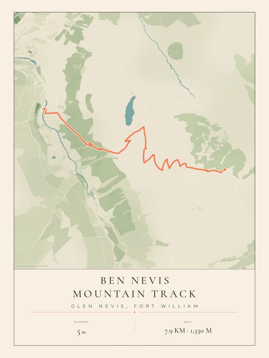
Ben Nevis route map poster
The Mountain Track to the top of Britain.
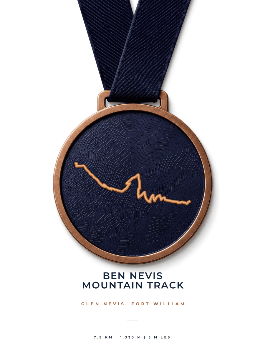
Keep your climb of Ben Nevis in a personal print of the Mountain Track, with your own title and the date you stood on the summit.
Prints from €38.99
Free tracked deliveryReady-made route, ready to personalise

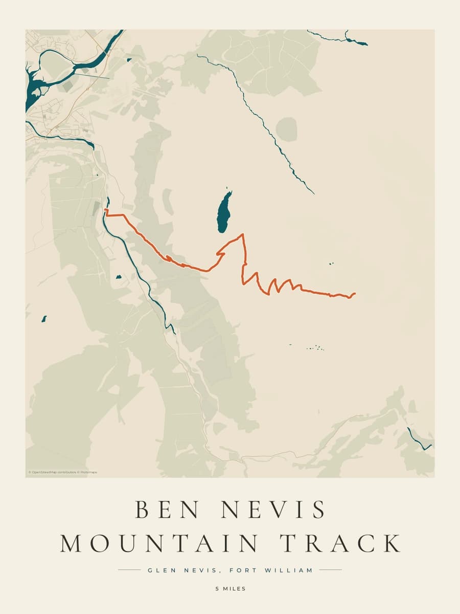
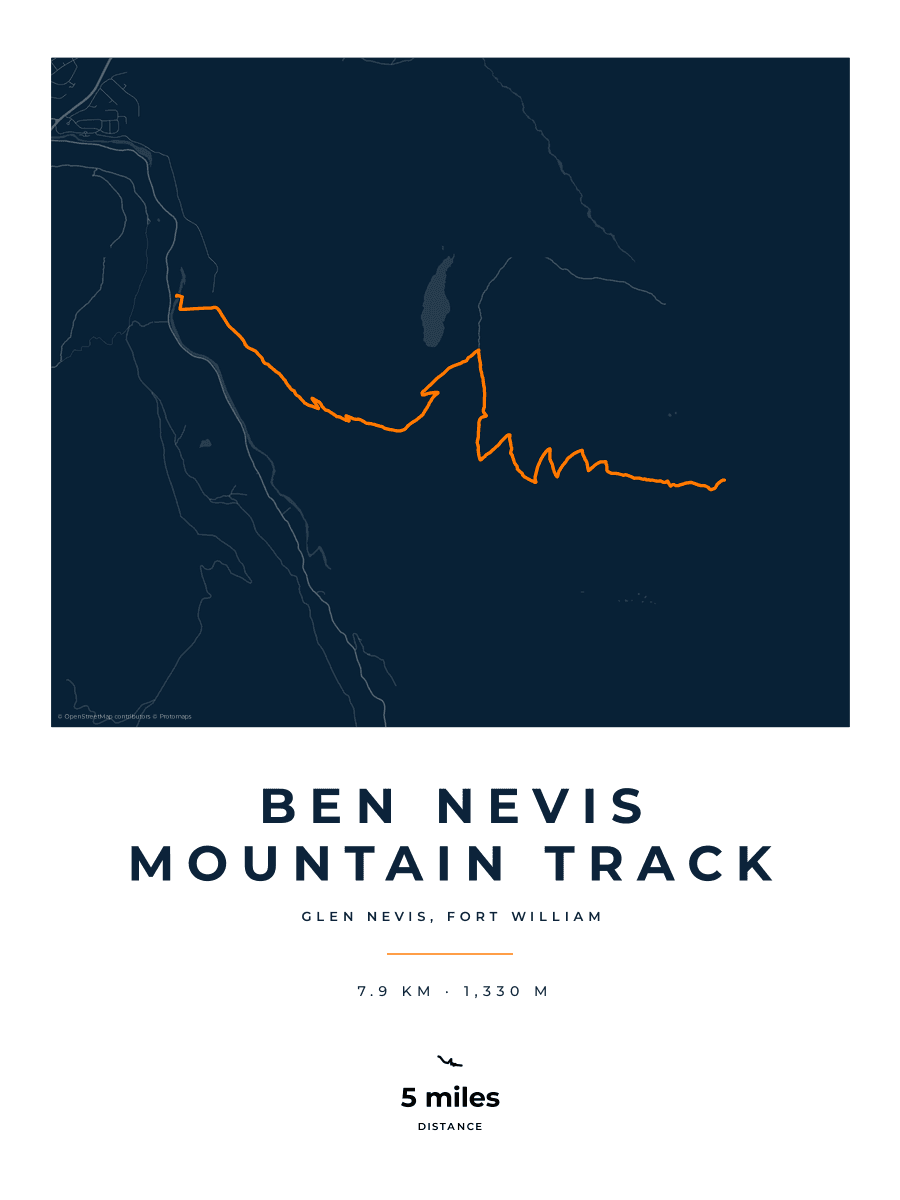
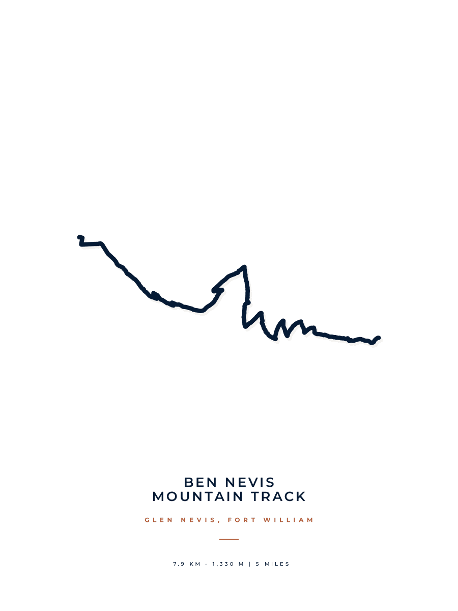
Artwork styles
Choose your look.
A bold statement or a quieter wall piece. Find the style for your walk.
Customer reviews
What customers say about their prints
Excellent service
The artwork I wanted was a little different to the format that Route Into Art usually undertake but they expertly took my initial concept and turned it into something that I was very happy with. Andrew's quick turnaround of my ideas and attention to detail and creative suggestions resulted in something that I was delighted with. Helping to turn all the training and event effort into a lovely memento. Thank you
LCW Nieuwpoort 2026 - Triathlon · Custom artwork
Perfect Memory of a Great Day
West Highland Way Race
As an elderly person, I struggled a bit with the( perfectly simple) instructions. They took over the production of my print and it arrived perfectly within a couple of days. My son was delighted with this print as it was a gift to him for successfully completing the West Highland Way Race. I would not hesitate to use this excellent company again.
West Highland Way Race 2026 · Coastal Atlas
Every review comes from a verified order.
Make it yours
Make it unmistakably yours.
Your title. The date of your walk. The details that take you back to the day.
The finished print
Made for the wall you come home to.
Crisp route detail, considered typography and a smooth matte finish. A personal print that looks as good as the memory feels.
30 × 40 cm or 50 × 70 cm
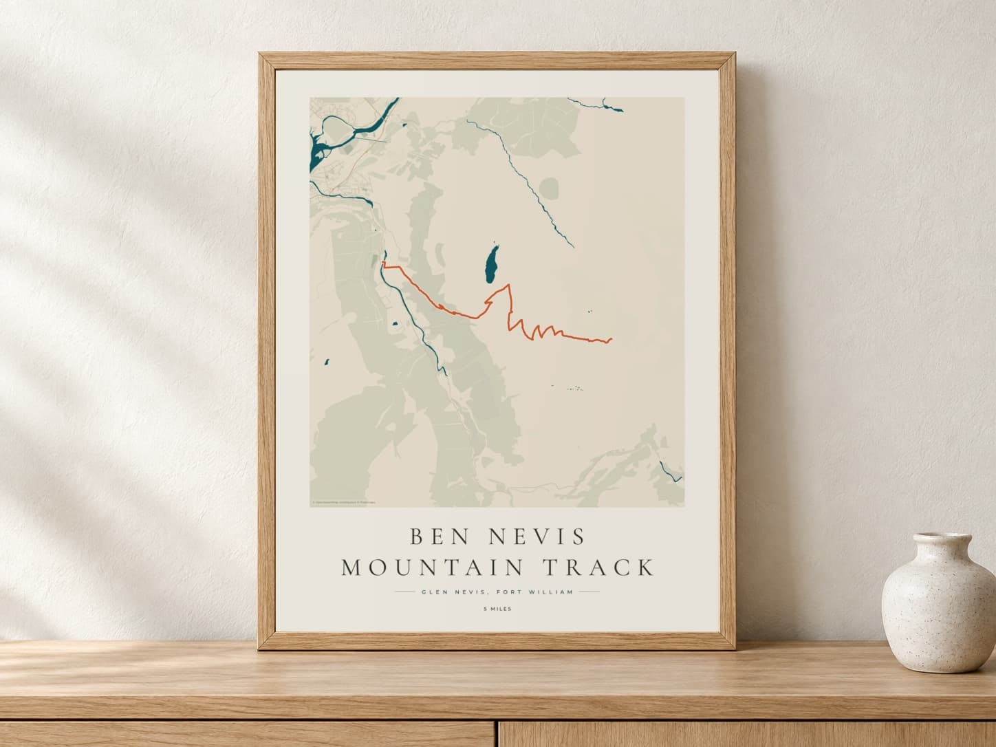

200gsm paper with a smooth, low-sheen finish.
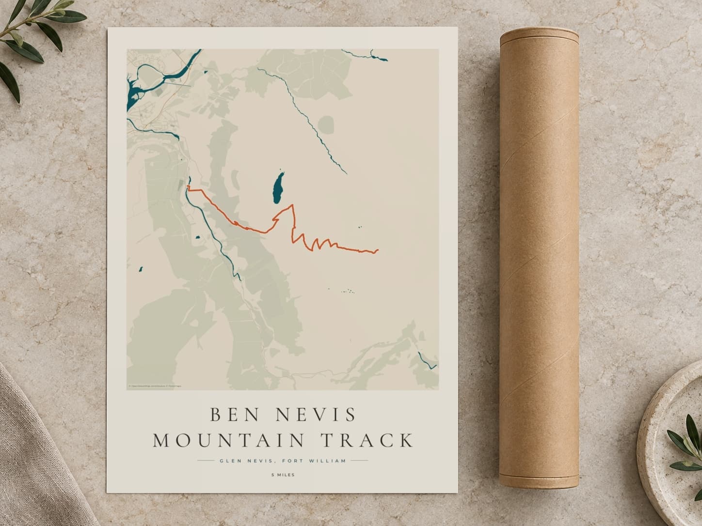
Your print is rolled and protected for its journey to you.
The course
Ben Nevis route map
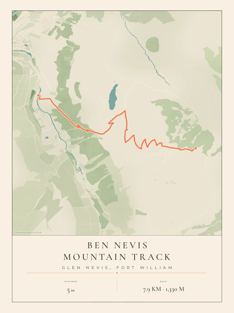
The Mountain Track from Glen Nevis to the summit of Ben Nevis, the highest mountain in the British Isles.
- Starts in Glen Nevis near Fort William
- Climbs the flank of Meall an t-Suidhe
- Passes the lochan at the halfway point
- Zigzags up the stony upper slopes
- Reaches the summit plateau and trig point at 1,345 m
- Distance
- 5 miles / 8 km one way
- Climbing
- About 1,330 m
- Start
- Glen Nevis, near Fort William
- Summit
- Ben Nevis, 1,345 m
- Route shape
- One way to the summit
Make your walk part of home.
Start with your trail
The route is ready. Add the details of your own walk.
Make it personal
Choose your artwork style, title and the date of your walk.
Make room for it
Choose your print size. We’ll print, pack and deliver it to your door.
The details, covered.
All questionsHow long is the Ben Nevis Mountain Track?
About 8 km (5 miles) each way, according to the Nevis Landscape Partnership, climbing about 1,330 m from Glen Nevis to the summit.
Is the Mountain Track the same as the Pony Track?
Yes. The Mountain Track is also called the Pony Track or the Tourist Path, and it is the way most walkers go up Ben Nevis.
Does the print show the way down too?
The ready-made route runs one way, from the start to the summit. If you came down another way, add your own Strava activity or GPX to show the whole walk.
Can I include the name of the trail and its elevation?
Yes. Add your own title, distance, elevation and date to make the artwork personal to your hike.
Which course will my print use?
Start with the ready-made course, or add your own Strava activity or GPX to use the route you recorded.
What sizes can I choose?
Choose 30 × 40 cm (about 12 × 16 in) or 50 × 70 cm (about 20 × 28 in). Both are printed on 200gsm premium matte paper.
Is a frame included?
You can add a ready-to-hang wooden frame in black, white, natural or dark wood when you order. It arrives with the print already fitted. Or order the print on its own to frame it yourself.
How long does delivery take?
Delivery takes 3–4 working days, with free tracked delivery.
Can I give a Ben Nevis print as a gift?
Yes. It makes a personal gift for anyone who has done the Ben Nevis walk. Add their title and the date of their walk, and it is sent with free tracked delivery, rolled and ready to frame, or fitted in a frame if you add one.
Ben Nevis
About the Ben Nevis print
The Mountain Track, also known as the Pony Track or the Tourist Path, is the main way up Ben Nevis, at 1,345 m the highest mountain in the British Isles. It starts in Glen Nevis near Fort William and climbs the flank of Meall an t-Suidhe to the lochan at the halfway point.
From the lochan the path zigzags up the stony upper slopes to the summit plateau, the ruins of the old observatory and the trig point. The Nevis Landscape Partnership gives it as about 8 km each way. The ready-made route runs one way, from Glen Nevis to the summit. Add the date of your walk, and the print keeps your own way up Ben Nevis.
Bring your Ben Nevis walk home.
Personalise the route with your title and the date of your walk.
Prints from €38.99 · Free tracked delivery